Freeport of Ventspils
Jana street 19
LV-3601, Ventspils
Latvia
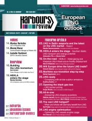
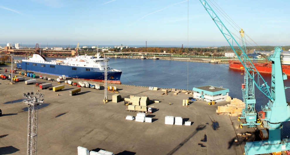
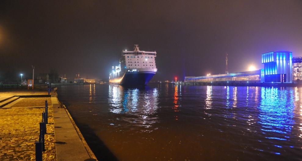
The Latvian Port of Ventspils, situated at the mouth of the Venta River and on the East-West trade corridor, is Latvia's 2nd biggest harbour, functioning as a strategic transit connection of export goods for Russia and the Commonwealth of Independent States (CIS).
Being a EU core TEN-T port, Ventspils is known also as an efficient Baltic Sea region transhipment hub for oil products, liquid chemicals, potassium salt, coal and grain. The technical parameters allow the ice-free Port of Ventspils to serve the largest vessels entering the Baltic Sea all year round. Apart from major dry bulk and liquids businesses, Stena Line also offers ferry services to Nynäshamn and to Travemünde from Ventspils.
Financial Times in its fDi Intelligence research Global Free Zones of the Future 2012/13 named Ventspils the world’s 7th most perspective free economic zone, while in the port category it was classified at the 2nd spot - the highest place among all European special economic zones.| Total port area | 2,451.39 ha |
| Land area | 242,600 ha |
| Of which rentable sites | 700 ha |
| Water depth | 17.5 m |
| Total quay length | 11,012 m |
| No. of quays | 53 |
| 2014 | 2013 | YOY 2014/2013 | ||
| TOTAL | 26.21 mln tn | 28.76 mln tn | -8.9% | |
| Dry bulk | 7.95 mln tn | 10.32 mln tn | -23% | |
| Liquids | 15.88 mln tn | 16.11 mln tn | +1.4% | |
| General cargo | 2.37 mln tn | 2.33 mln tn | +1.7% | |
| incl. | Containers | n/a | 36 TEU | - |
| Ro-ro | 1.86 mln tn | 1.88 mln tn | -1% | |
| Pax | 82.95 thou. | 60.13 thou. | 38% | |
| Ship calls | 1,534 | 1,729 | -11.3% | |
TOC Americas 18-20 October 2022 Lima

Baltic and Black Sea Ports & Shipping 27-29 September 2022 Palanga

Intermodal Freight Forum Europe 2022 8 February 2022 Online

International Rail Forum & Conference 2022 5-7 October 2022 CZ/Prague

SIL Barcelona 31 May 2022 ES/Barcelona